Aerial Drone Photography, Videography, Mapping, Modeling,
and More …

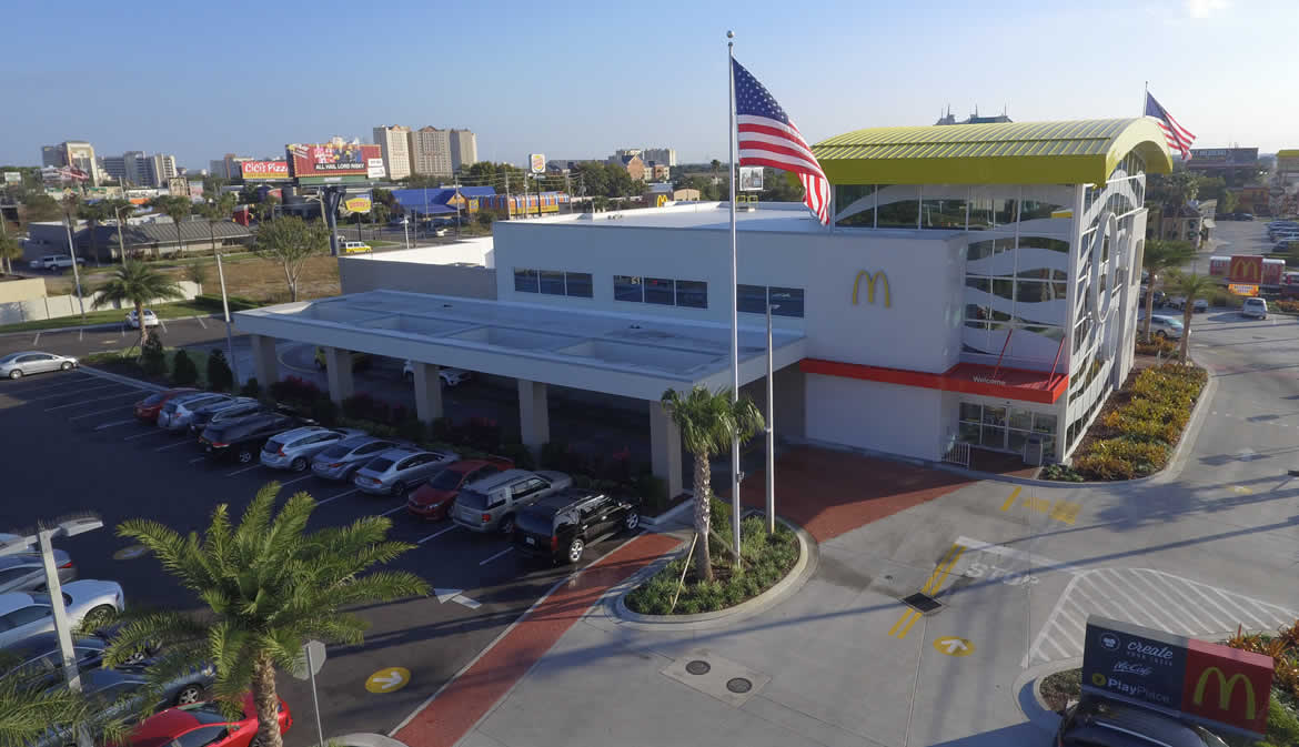
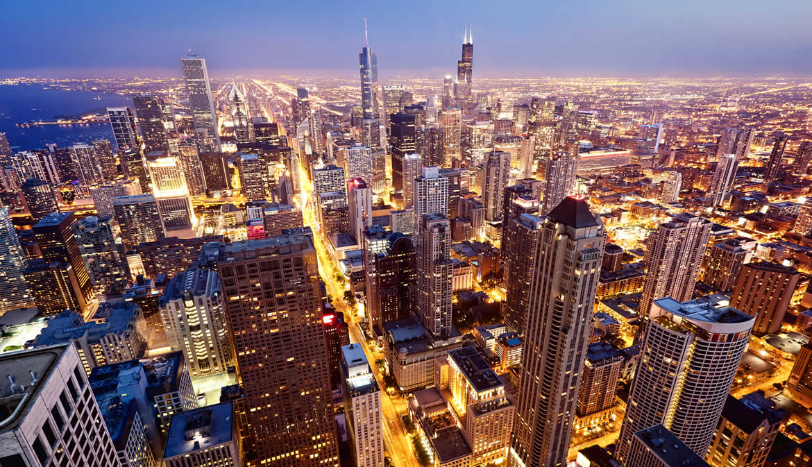
Commercial Videography
As licensed commercial drone pilots, we can provide most any type of aerial video production your company desires. From Television Commercials to YouTube and Social Media to Modeling, Mapping, and Inspections to Sales and Marketing, count on us.
Real Estate
It used to be that aerial photography and video was an exclusive feature in selling homes. Today it is more a necessity to ensure you get the best offers. Not only do we produce first class video for elite real estate, we also have created affordable solutions for every class.
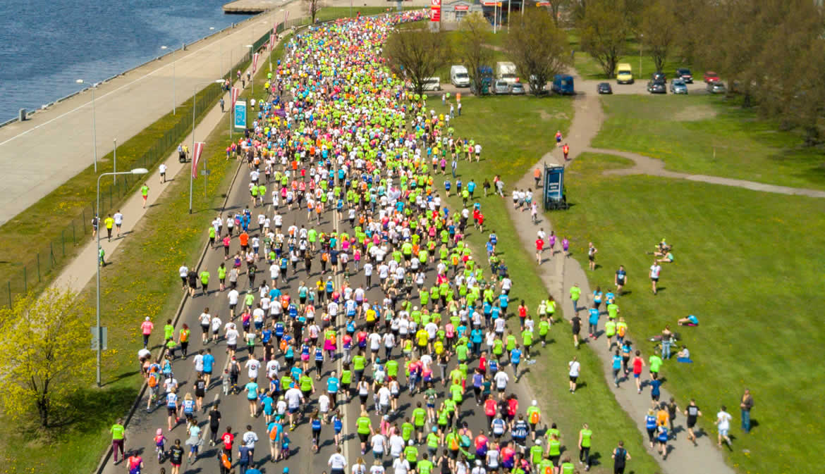
Event Coverage
Events, festivals, concerts and sporting events are tricky propositions because the FAA does not allow drones to fly above people. Yet, there are still creative ways to capture powerful footage. Let’s discuss your event and how we may be able to capture the magic.
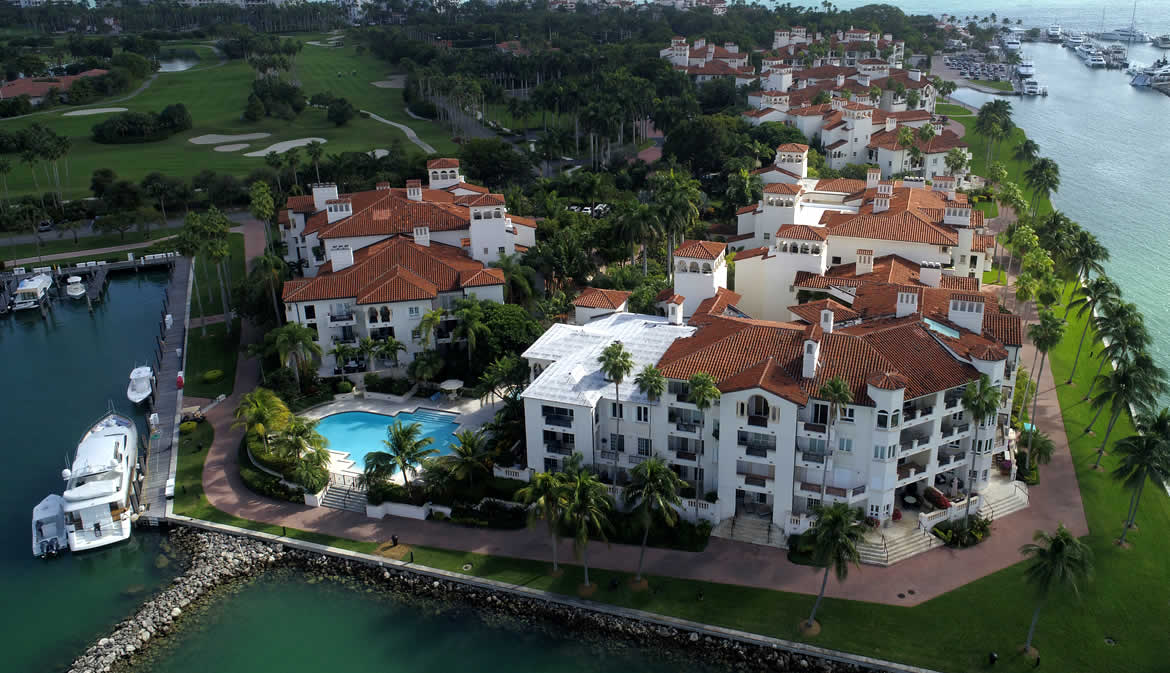
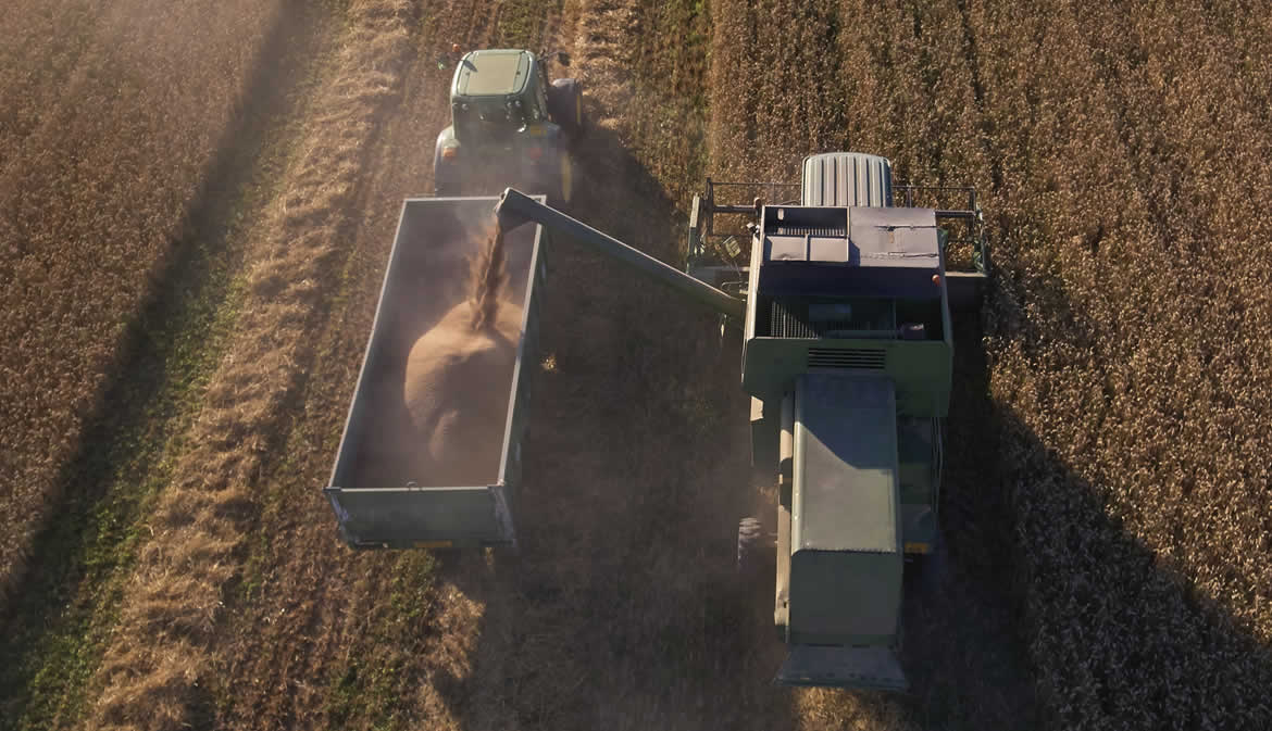
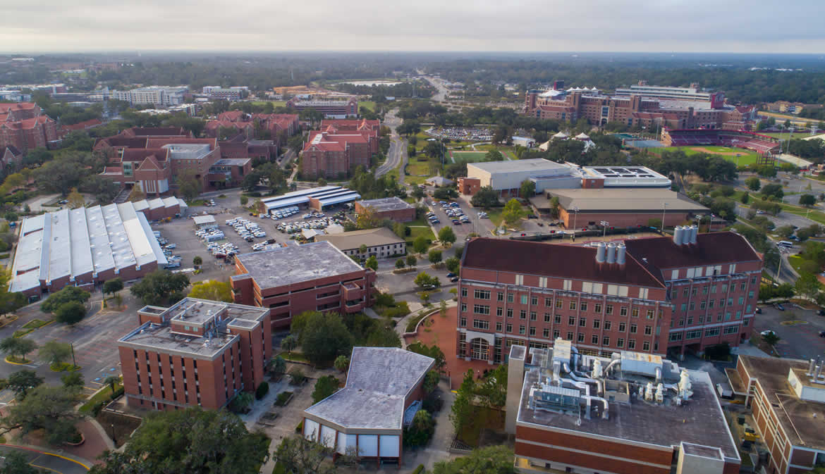
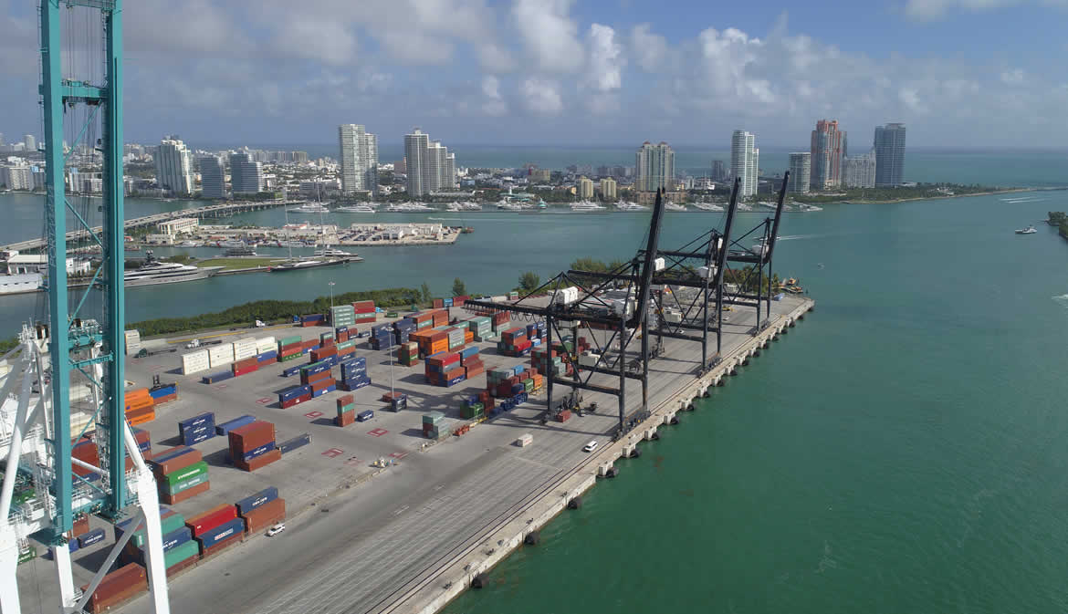
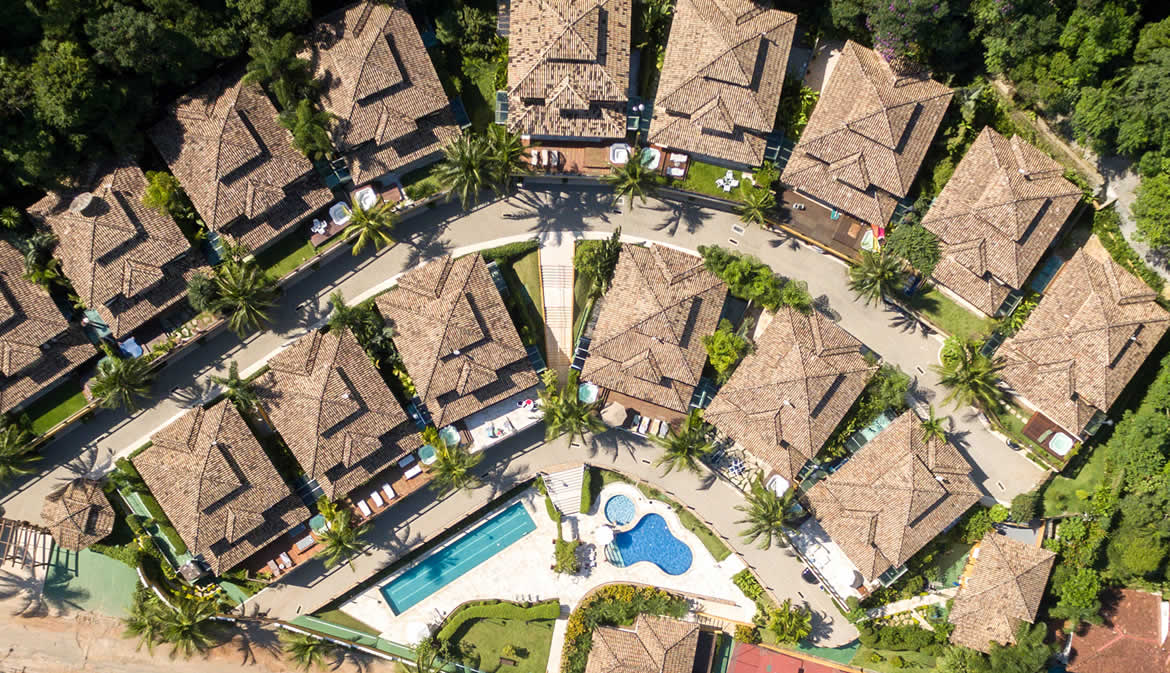
Property Tours
Resorts, Farms, Ranches, Campuses, Vineyards, Gardens, Parks, Malls, Venues, you name it; your property itself is the story. Now that drone technology has now made it affordable, it’s time to get the aerial shots that display your properties magnificence.
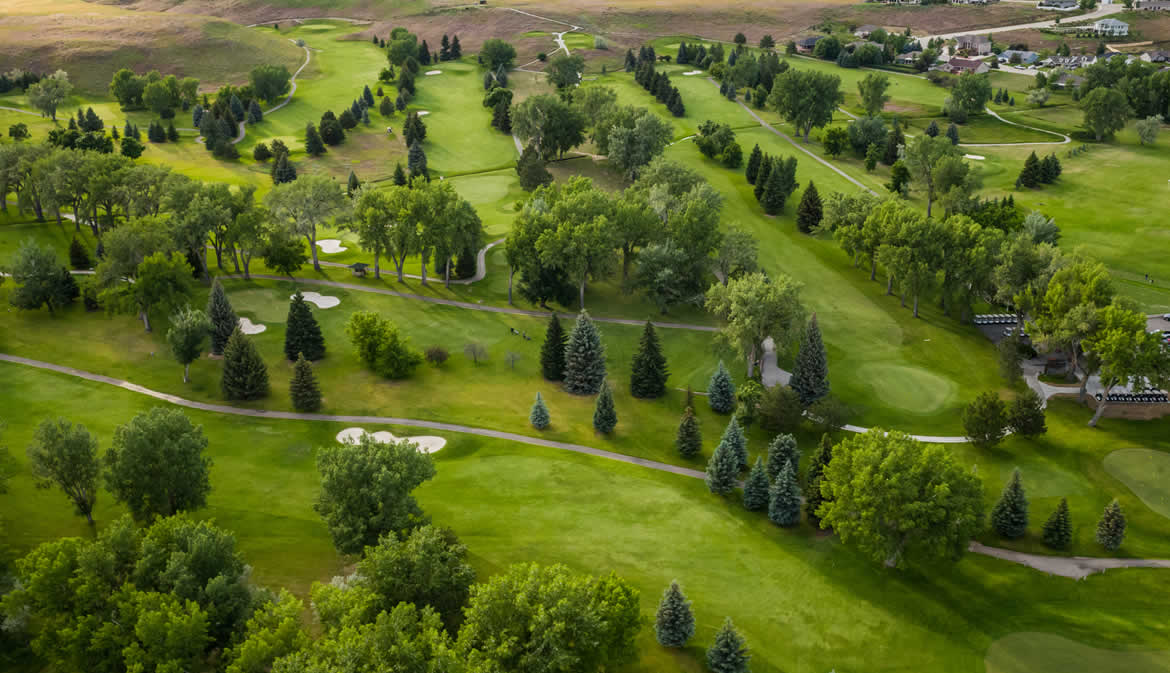
Golf Courses
Golf courses are quickly realizing the advantages of aerial photos, videos, and even making interactive 3D models. From simple to complex, we’d like to discuss how we can assist your golf course.
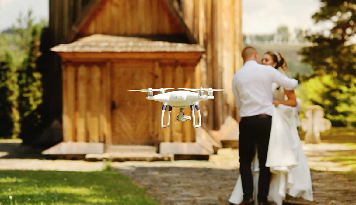
Weddings
Capture stunning aerial video and photos of your wedding. The unique paradigm that a drone can provide adds depth and dimension to ensure that the memories of your day are spectacular.
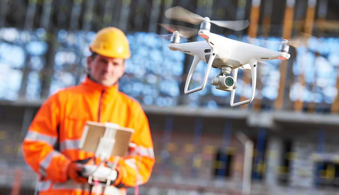
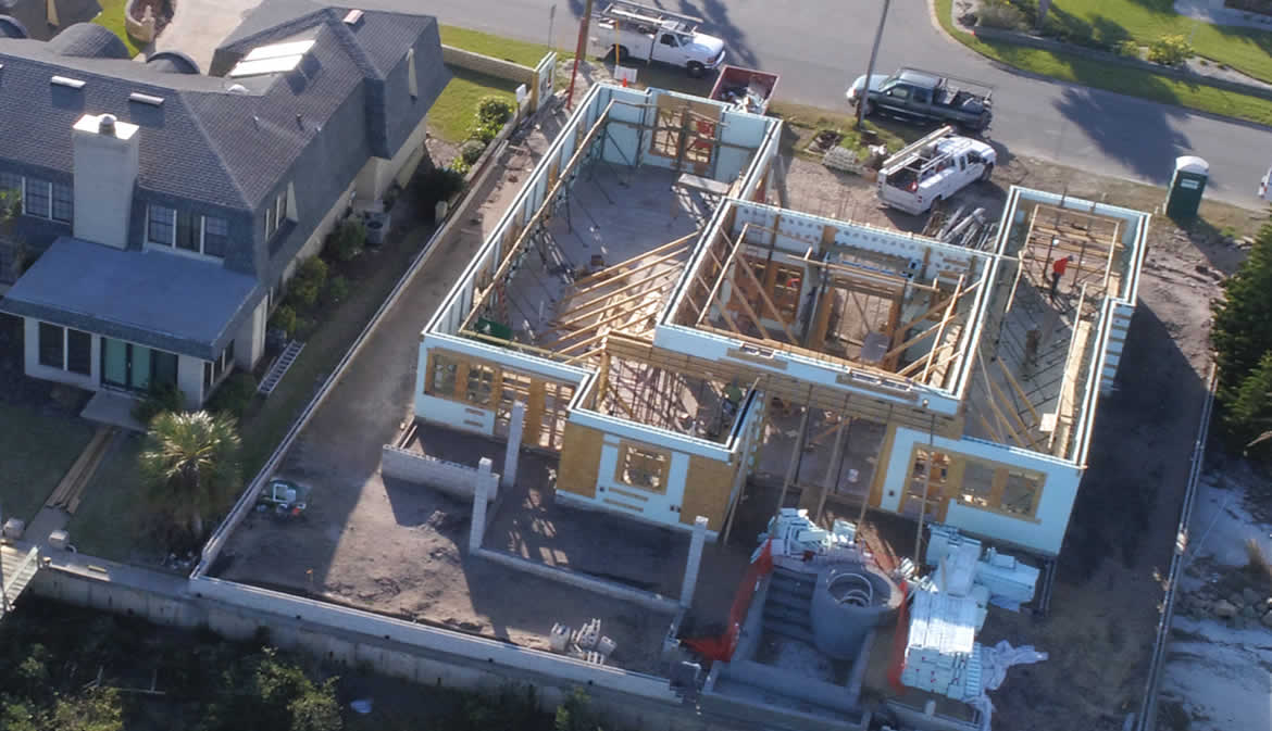
Inspections
Unmanned Aerial Vehicles (UAV or UAS) to inspect Pipelines and Oil & Gas Facilities, Building and Roof Tops, Towers, Power lines, Construction, Land, Government projects. We can outfit drones with infrared cameras to illuminate that which is not captured via sight or traditional cameras. Coming Soon.
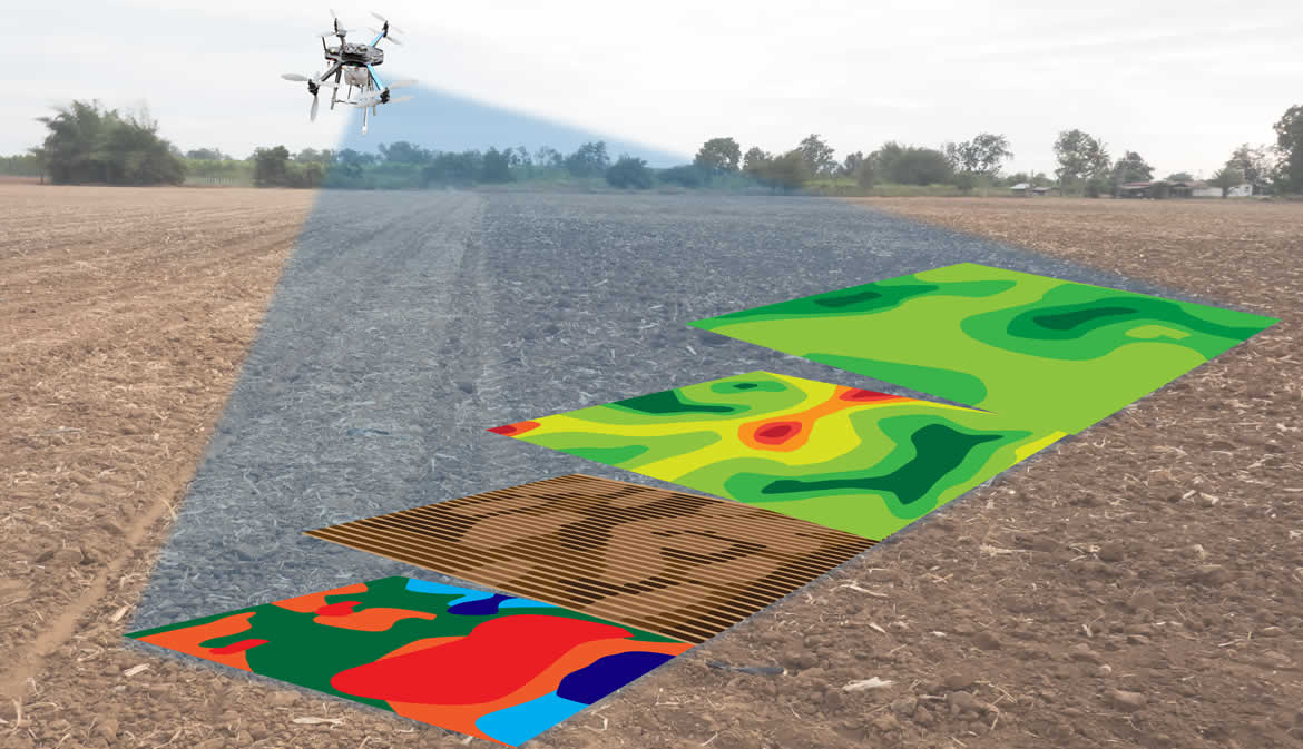
Mapping / Modeling
LiDAR (Light Detection and Ranging) is a remote sensing technology that uses rapid laser pulses to map out the surface of the earth. LiDAR is useful when used to create high resolution digital surfaces, terrain and elevation models used for various business applications. Coming soon.